Why visit
The first village plot of Vihtola is drawn here as early as the 1767 map of Lapvesi parish and in Steinheil's atlas of 1805. Metal detecting in the deserted western part has turned up coins from the early 1700s, among other finds.
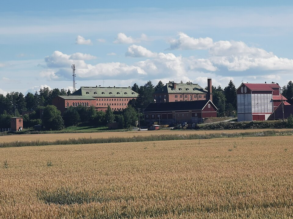
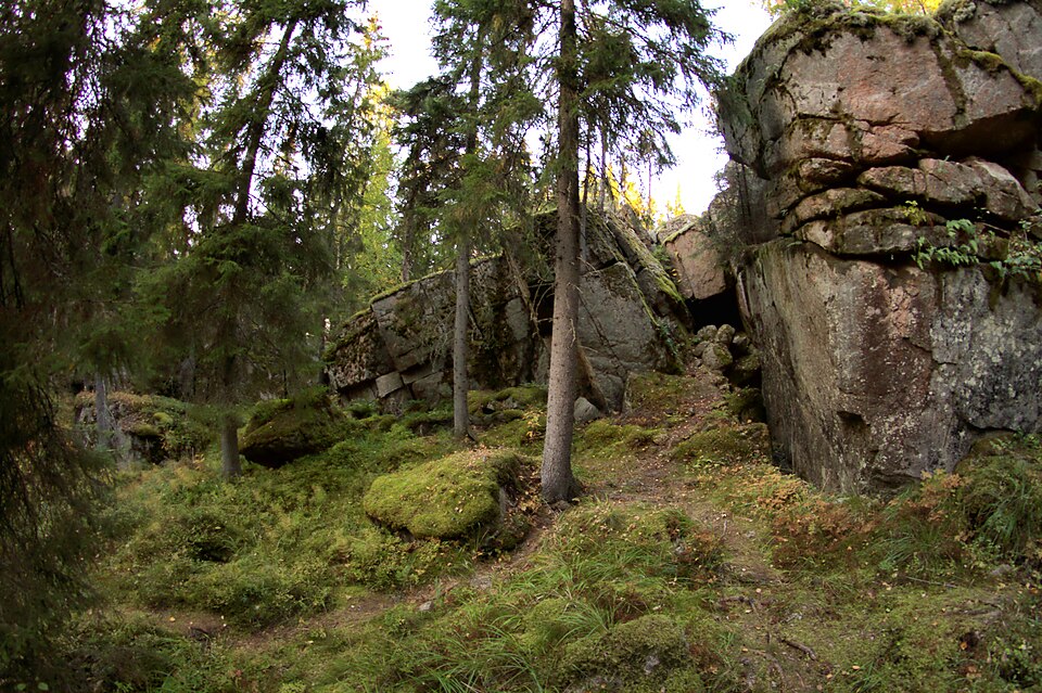
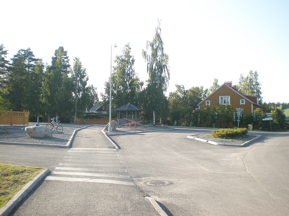
Look for: The north-eastern part of the plot land is built over today and the south-eastern part is partly field, partly meadow. It is the deserted western part that has been delimited as the ancient monument.
About this site
Vihtolan kylän ensimmäinen tonttimaa on kuvattu paikalle Lapveden pitäjää kuvaavassa vuoden 1767 kartassa ja vuoden 1805 Steinheilin kartastossa. Tonttimaa on tarkemmin paikannettu vuoden 1833 isojakokartalta. Tonttimaan koillisosa on nyt rakennettua ja kaakkoisosa on osin peltona, osin niittynä. Tonttimaan autioitunut länsiosa on rajattu muinaisjäännökseksi.
Länsiosalta on löytynyt metallinetsinnässä mm. 1700-luvun alkupuolen rahoja. Rajaus perustuu isojakokarttaan, metallinetsintälöytöihin ja topografiaan.
Official description (in Finnish)
- Type
- ancient monument
- Subtype
- village sites
- Dating
- historical period
- Municipality
- Lappeenranta
More to see in Lappeenranta
 Protected building
Nuijamaa Church
Lappeenranta
Read moreLauritsala Church
Lappeenranta
Read moreKilpisen linnake
Lappeenranta
Read moreLappeen kirkko (Marian kirkko)
Lappeenranta
Read moreLappeen tuomiokunnan kanslia ja käräjätalo (Komendantin talo)
Lappeenranta
Read moreLappeenrannan ortodoksinen kirkko
Lappeenranta
Read more