Rauma heritage sites
historic places and ancient monuments on the map
441 sites from the Finnish Heritage Agency Kyppi register
Data from the Finnish Heritage Agency's Kyppi register. Last updated: 14/06/2026.
Suggested day route – Rauma
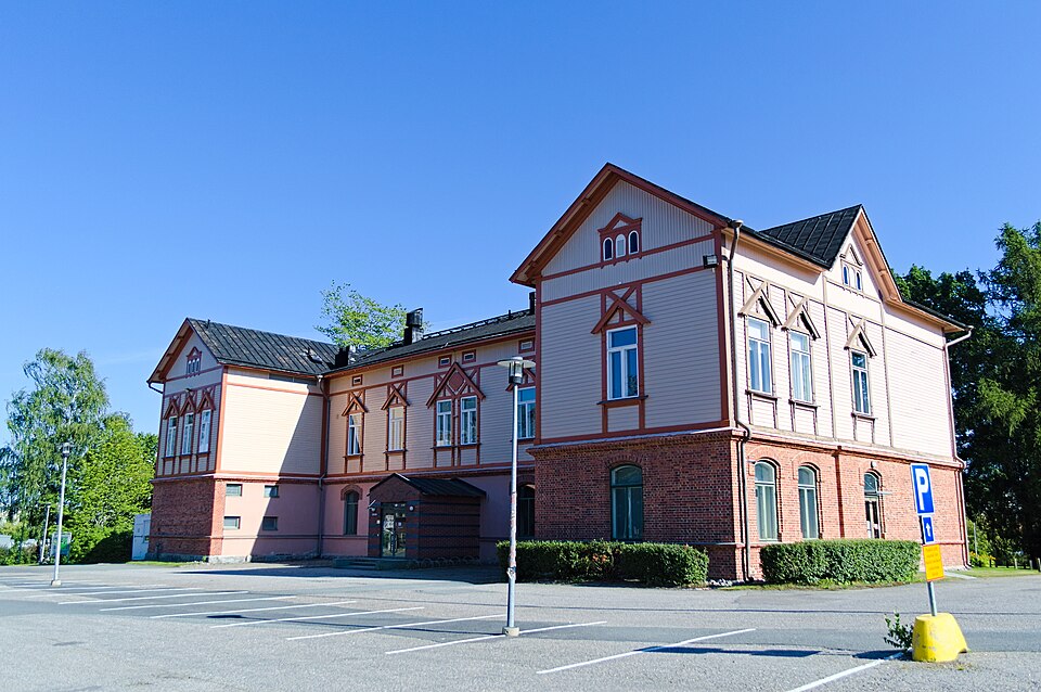
- 1Rauman seminaari→
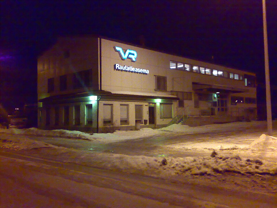
- 2Rauma railway station→
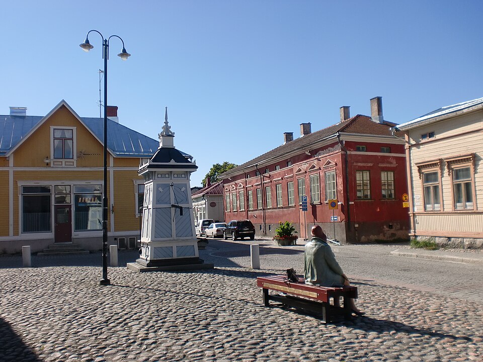
- 3Old Rauma→
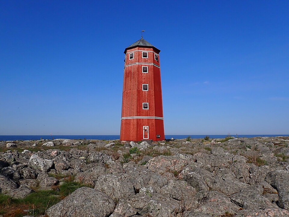
- 4Santakarin pooki→
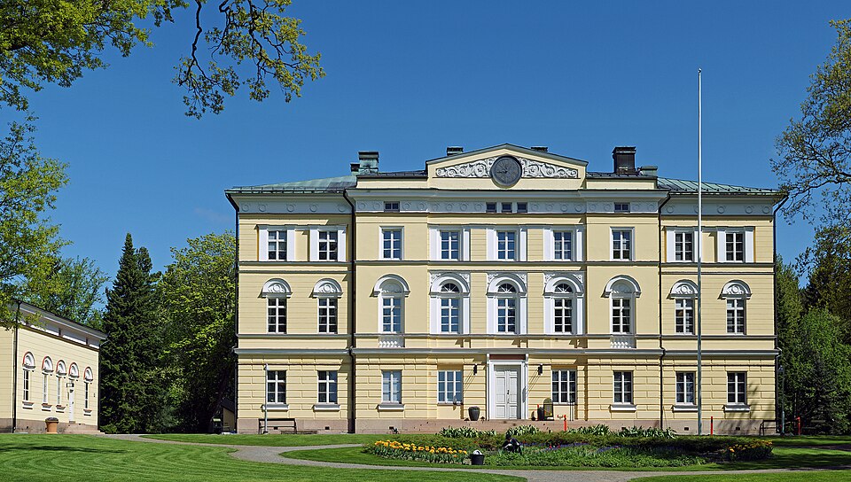
- 5Vuojoen kartano→
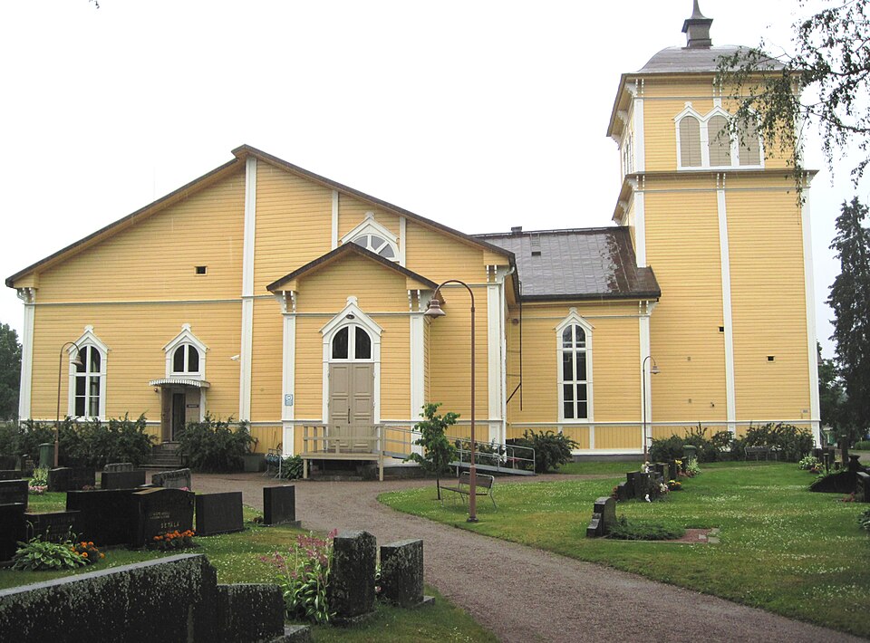
- 6Eurajoen kirkko
Filter sites
You can filter sites in Rauma by period, type and area on the interactive map.
Frequently asked questions
Where does Aikapolku's data come from?▾
All site information comes from the Finnish Heritage Agency's Kyppi register, the official cultural-environment service in Finland. We refresh the data regularly so the information stays current. Read more about our method.
Can I visit every site?▾
Most sites are open and freely accessible, but some are protected monuments that may not be damaged by law. Not every site is marked on the ground — sometimes it is just a historical location. Each site page has accessibility details.
How do I use the map and filters?▾
Click the map to see sites in an area and open details for a single site. Filters and interactive search are on the Discover page — there you can select period and type and combine several filters.
Historic places in Rauma
Explore Rauma's historic places on the map. Old Rauma is a UNESCO World Heritage Site, and every site comes from the Finnish Heritage Agency's register.