Loviisa heritage sites
historic places and ancient monuments on the map
336 sites from the Finnish Heritage Agency Kyppi register
Data from the Finnish Heritage Agency's Kyppi register. Last updated: 14/06/2026.
.tif)
Suggested day route – Loviisa
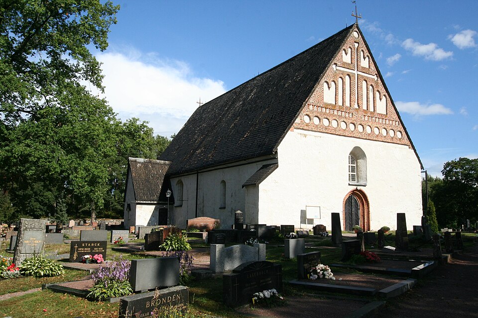
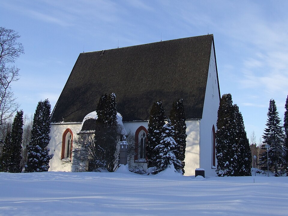
- 1Pernajan kirkko→
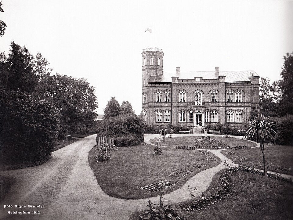
- 2Tjusterbyn kartano→
- 3Tervikin kartano→
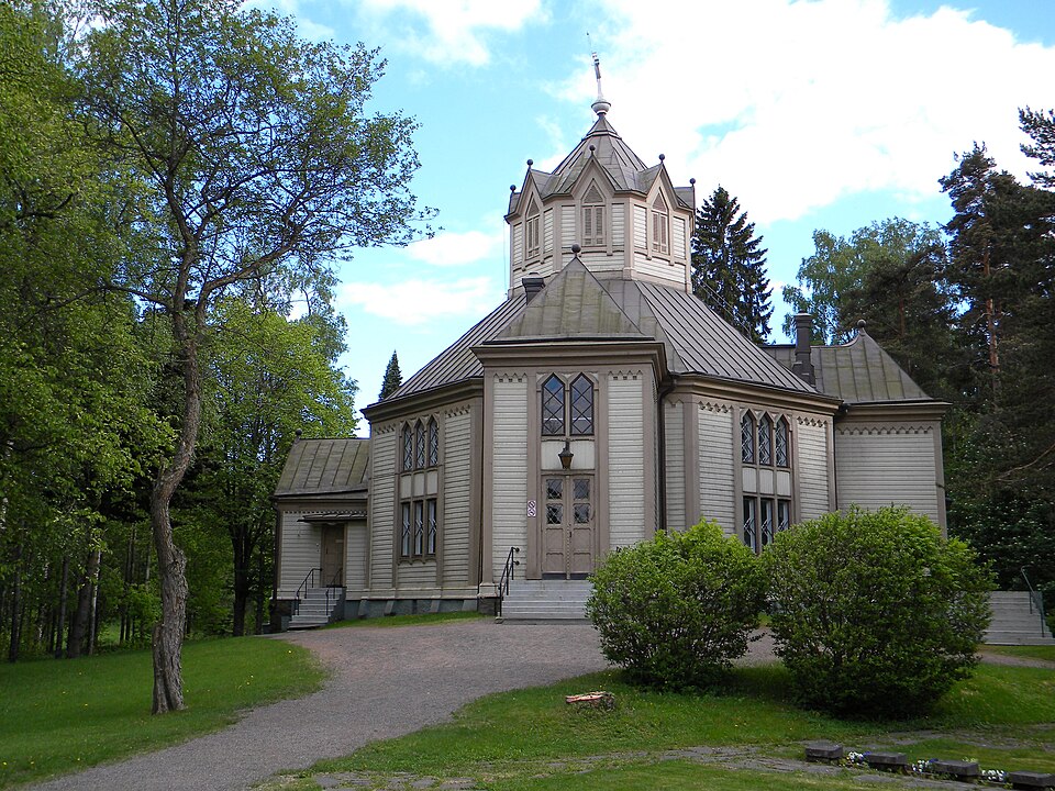
- 4Liljendalin kirkko→
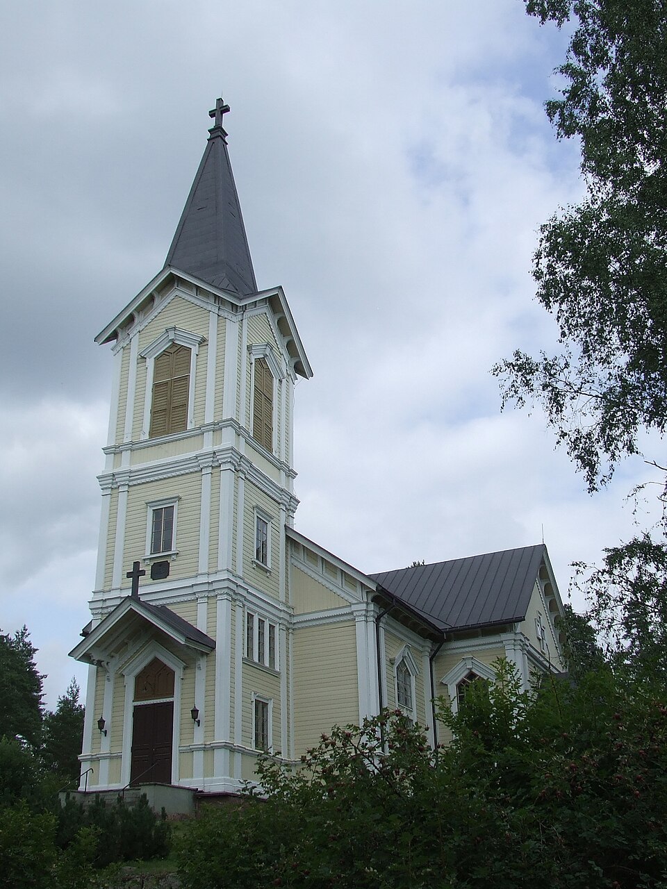
- 5Ruotsinpyhtään kirkko→
- 6Pyhtää church
Filter sites
You can filter sites in Loviisa by period, type and area on the interactive map.
Frequently asked questions
Where does Aikapolku's data come from?▾
All site information comes from the Finnish Heritage Agency's Kyppi register, the official cultural-environment service in Finland. We refresh the data regularly so the information stays current. Read more about our method.
Can I visit every site?▾
Most sites are open and freely accessible, but some are protected monuments that may not be damaged by law. Not every site is marked on the ground — sometimes it is just a historical location. Each site page has accessibility details.
How do I use the map and filters?▾
Click the map to see sites in an area and open details for a single site. Filters and interactive search are on the Discover page — there you can select period and type and combine several filters.
Historic places in Loviisa
Explore Loviisa's historic places and the Svartholm sea fortress on the map. Sites from the Finnish Heritage Agency's register.