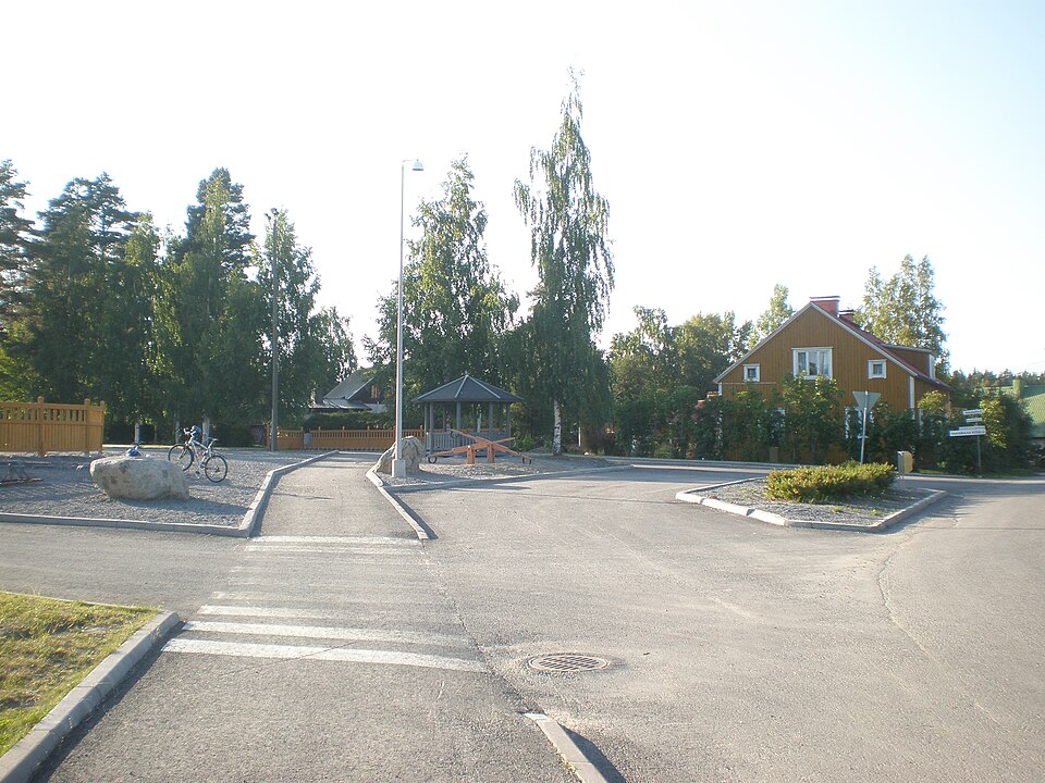
Why visit
The dwelling site lies at the southeast end of the Utranharju esker, on its southern slope, a clearly formed sand ridge covered in dry pine heath. It sits below the level of Greater Saimaa's highest shoreline bank and would therefore date to about 3400-3000 BC.
Look for: The finds (KM 33832:1-3) were picked up from the verges of the forest track at three separate spots along some 250 metres. To the northeast, on a higher shoreline bank, lies the Kupluskylä 1 dwelling site.
About this site
Asuinpaikka sijaitsee Kontiolahden kunnan ja Joensuun kaupungin rajan tuntumassa, Utranharjun kaakkoispäädyssä, eteläisellä rinteellä. Utranharju on selväpiirteinen hiekkaharju ja alue on kuivaa mäntykangasta. Paikalla on metsätie, jonka reunoilta, kolmesta eri kohdasta noin 250 m matkalta, löydöt (KM 33832:1-3) on poimittu.
Inventoinnin 2012 asuinpaikan rajausta ei kyetty luotettavasti arvioimaan. Paikka sijaitsee Suur-Saimaan korkeimman rantatörmän tason alapuolella, 85-86 m törmällä ja ajoittuisi siten noin 3400-3000 eKr. Asuinpaikan koillispuolella, ylemmällä rantatörmällä sijiatsee pienialainen asuinpaikka (Kupluskylä 1).
Official description (in Finnish)
- Type
- ancient monument
- Subtype
- unspecified
- Dating
- Stone Age
- Municipality
- Kontiolahti
More to see in Kontiolahti
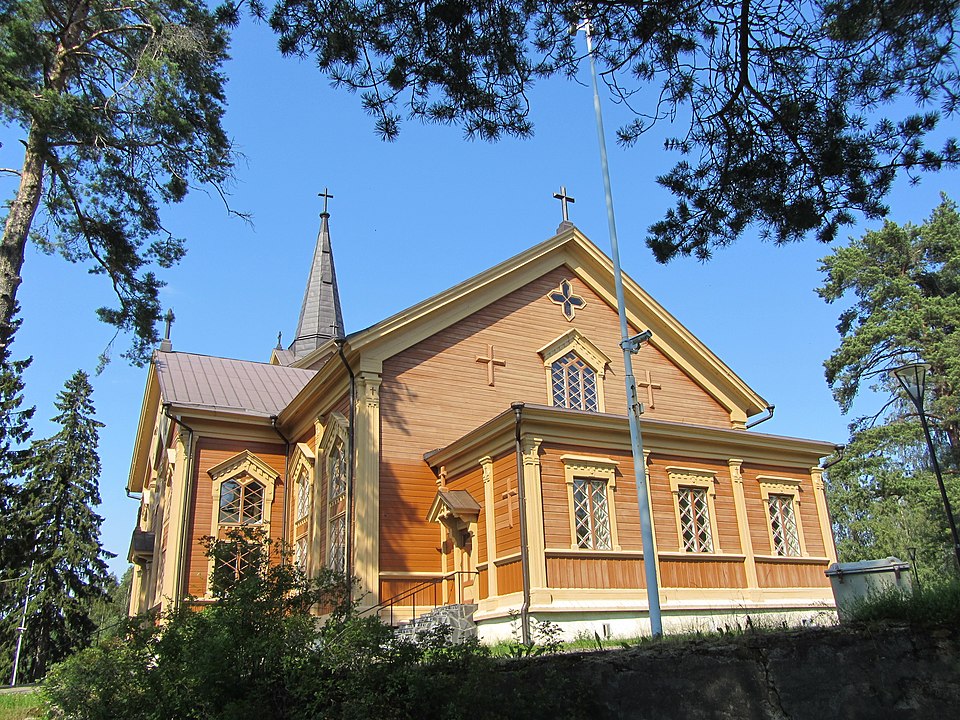
Worth a stop nearby
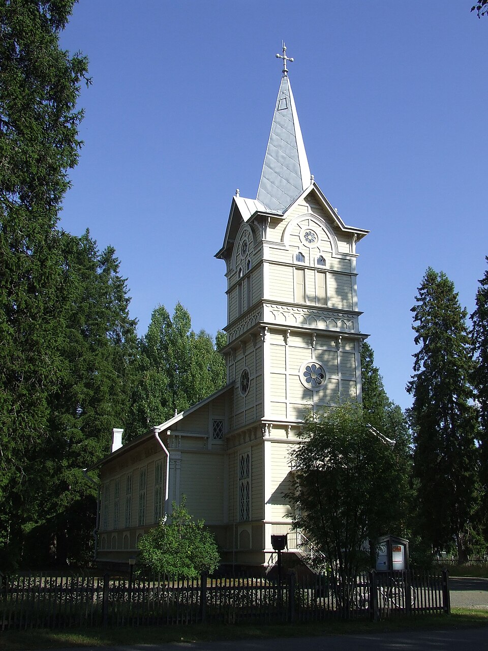 Protected building
Utran kirkko
Joensuu
Read more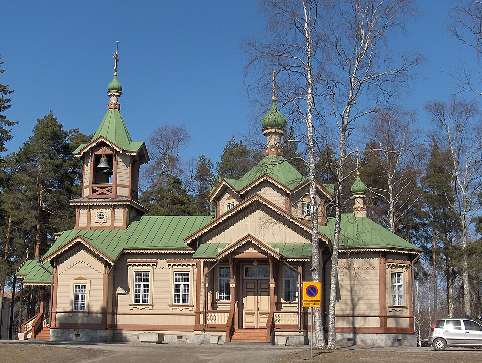 Protected building
Pyhän Nikolaoksen kirkko
Joensuu
Read more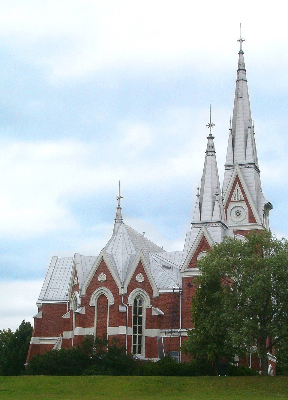 Protected building
Joensuu Church
Joensuu
Read more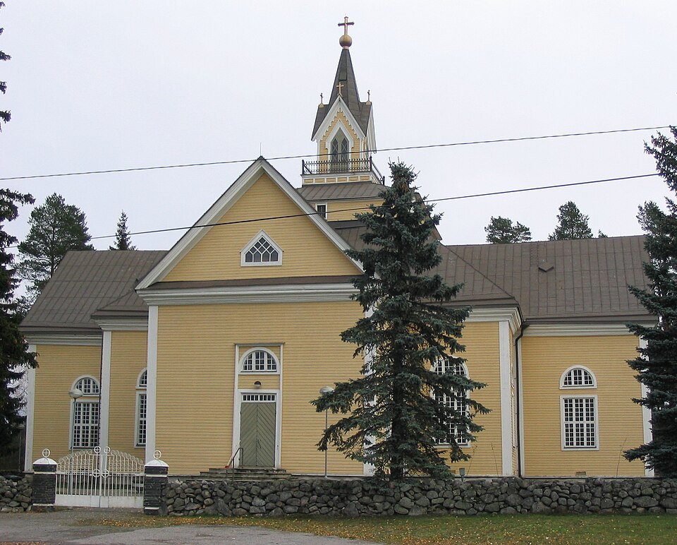 Protected building
Enon kirkko
Joensuu
Read more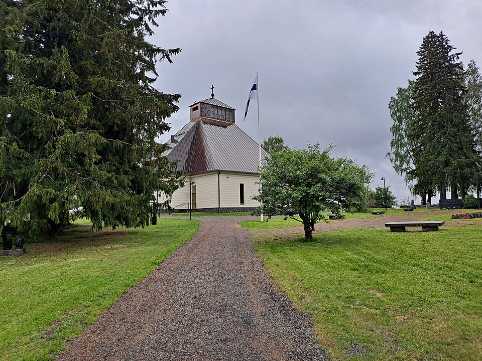 Protected building
Kiihtelysvaaran kirkko
Joensuu
Read more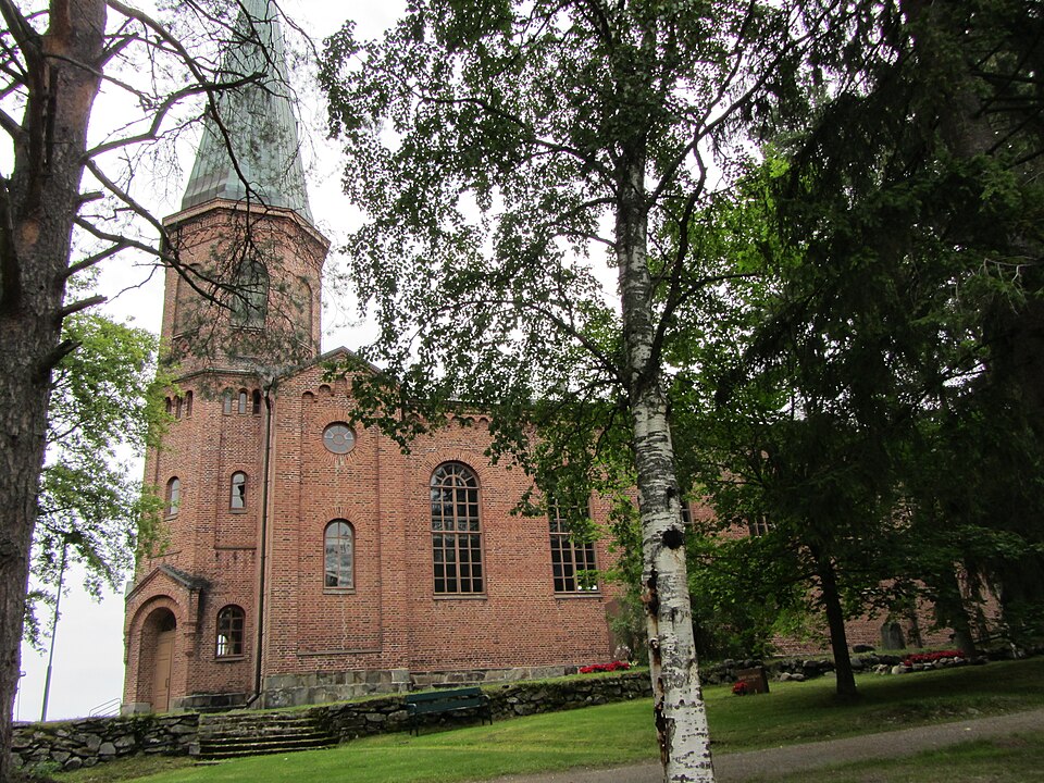 Protected building
Liperin kirkko
Liperi
Read more