Why visit
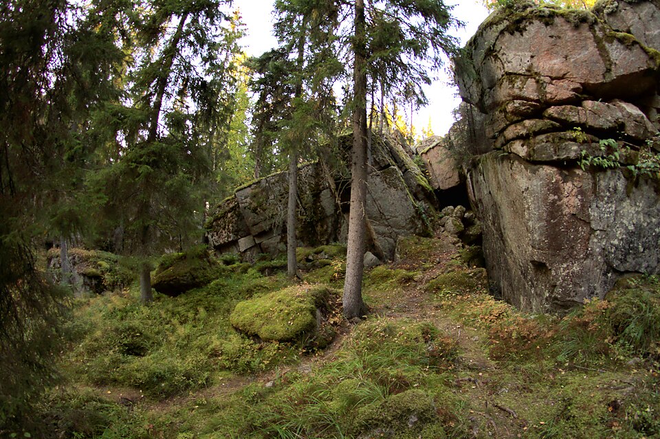
A boundary point between Lappeenranta and Taipalsaari, following a line already drawn on a map of 1767 and repeated on the maps of 1845 and 1856. The land-partition map gives this point the numbers 13 and 62.
Look for: The marker sits on top of a crack in the bedrock: a stone-laid base 1.4 by 1.4 metres and 40 to 70 cm high, topped by a flat standing stone with the number 13 cut into it.
About this site
Kohdalla on Lappeenrannan ja Taipalsaaren välinen rajapiste. Sama rajalinja esiintyy vuoden 1767 Lapvettä kuvaavalla kartalla, vuoden 1768/71 Taipalsaarelta kuvaavalla kartalla, vuoden 1845 Lappeen pitäjänkartalla sekä vuoden 1856 isojakokartalla. Isojakokarttaan tähän rajapisteeseen on merkitty numerot 13 ja 62.
Rajamerkki on kalliohalkeaman päällä. Sen kivistä ladottu jalusta on 1,4 x 1,4 m kokoinen ja 40 - 70 cm korkea. Päällä on laakamainen pystykivi, korkeudeltaan n. 40 cm. Pystykiveen on hakattu numero 13.
Official description (in Finnish)
- Type
- ancient monument
- Subtype
- boundary markers
- Dating
- historical period
- Municipality
- Lappeenranta
More to see in Lappeenranta
 Protected building
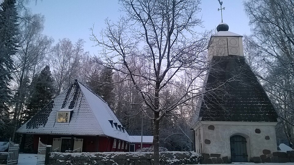
Nuijamaa Church
Lappeenranta
Read moreLauritsala Church
Lappeenranta
Read moreKilpisen linnake
Lappeenranta
Read moreLappeen kirkko (Marian kirkko)
Lappeenranta
Read moreLappeen tuomiokunnan kanslia ja käräjätalo (Komendantin talo)
Lappeenranta
Read moreLappeenrannan ortodoksinen kirkko
Lappeenranta
Read more