Why visit
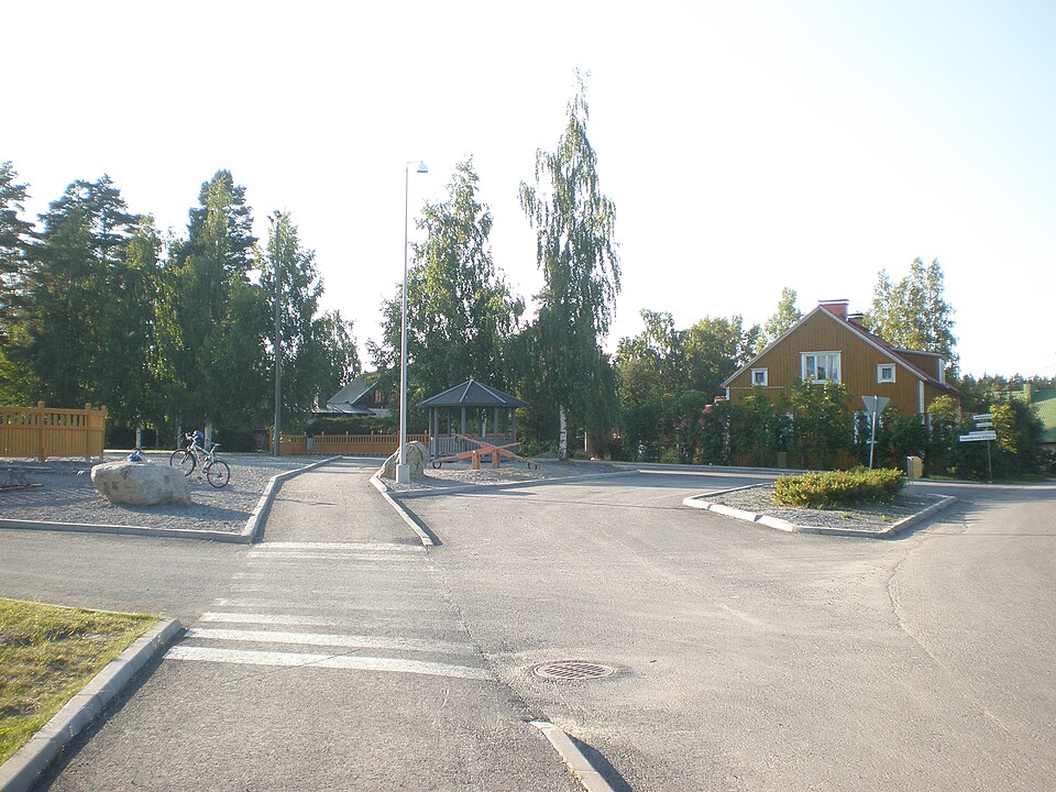
East of the Kirkonvarkaus bridge, on a gravel slope falling to the south-east, lies a Stone Age dwelling site. Its elevation dates it to the time of Saimaa's highest water level, around 4000 BC.
Look for: The gravel slope north of the road to Anttola, dropping away to the south-east. Quartz flakes have been found here (KM 18991).
About this site
Kivikautinen asuinpaikka sijaitsee Kirkonvarkauden sillasta itään, Anttolaan vievän tien pohjoispuolella, kaakkoon viettävällä sorarinteellä. Paikalta on löytynyt kvartsi-iskoksia (KM 18991). Sijaintikorkeutensa perusteella asuinpaikka ajoittuu Saimaan maksimikorkeuden aikaan noin 4000 ennen ajanlaskun alkua.
Official description (in Finnish)
- Type
- ancient monument
- Subtype
- unspecified
- Dating
- Stone Age
- Municipality
- Mikkeli
More to see in Mikkeli
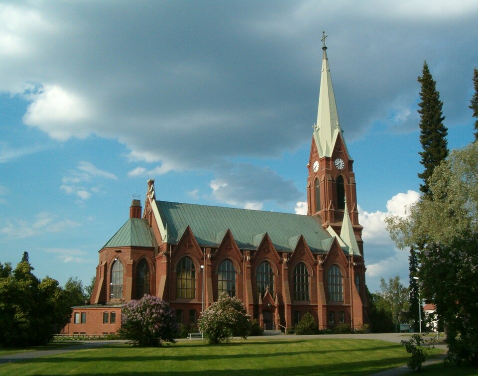 Protected building
Mikkeli Cathedral
Mikkeli
Read more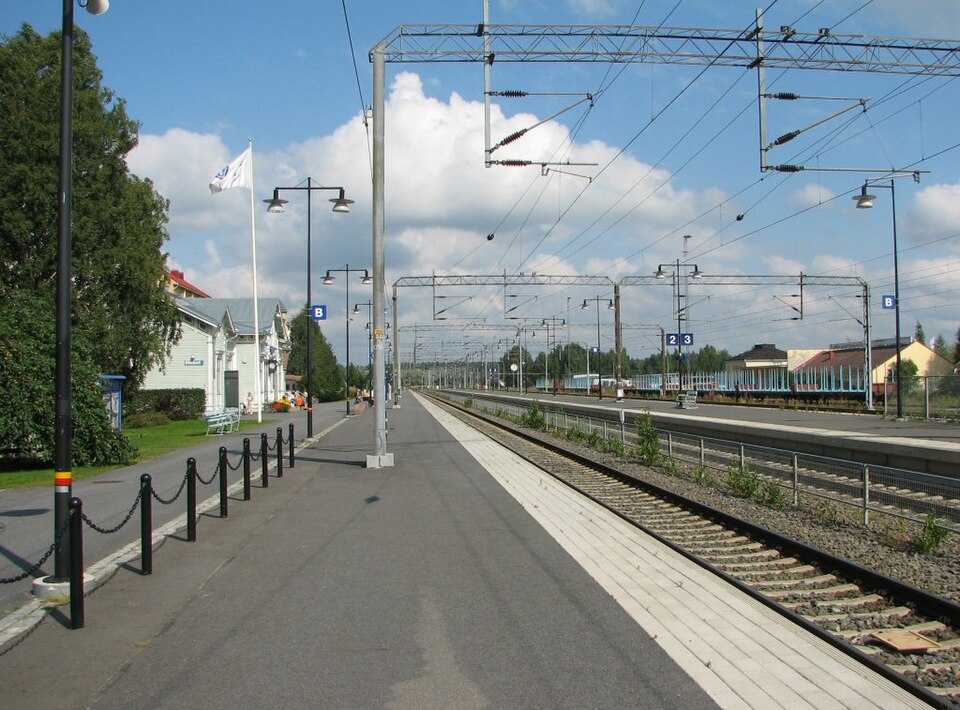 Protected building
Mikkeli railway station
Mikkeli
Read more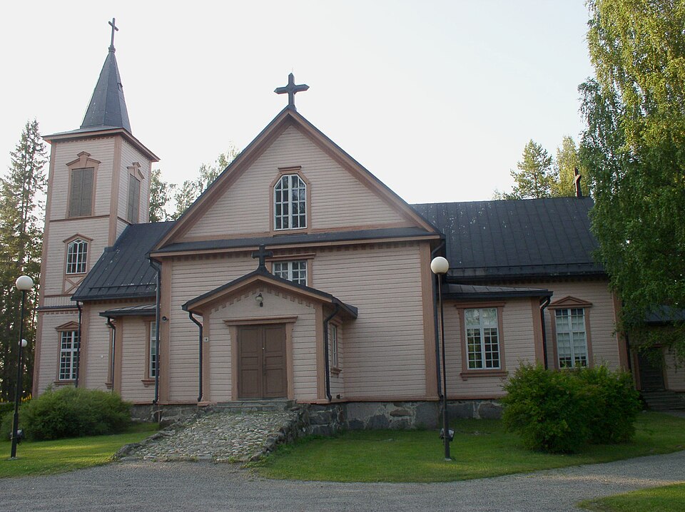 Protected building
Anttolan kirkko
Mikkeli
Read more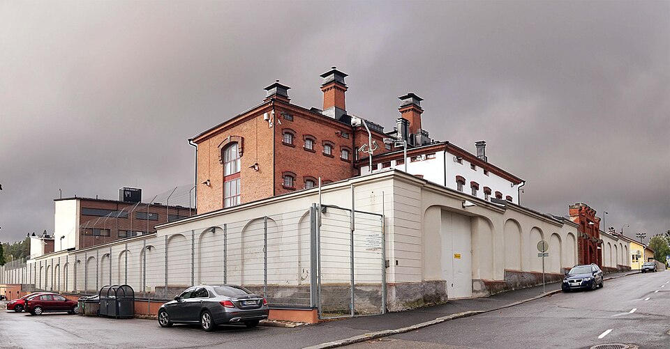 Nationally significant
Mikkelin vankila
Mikkeli
Read more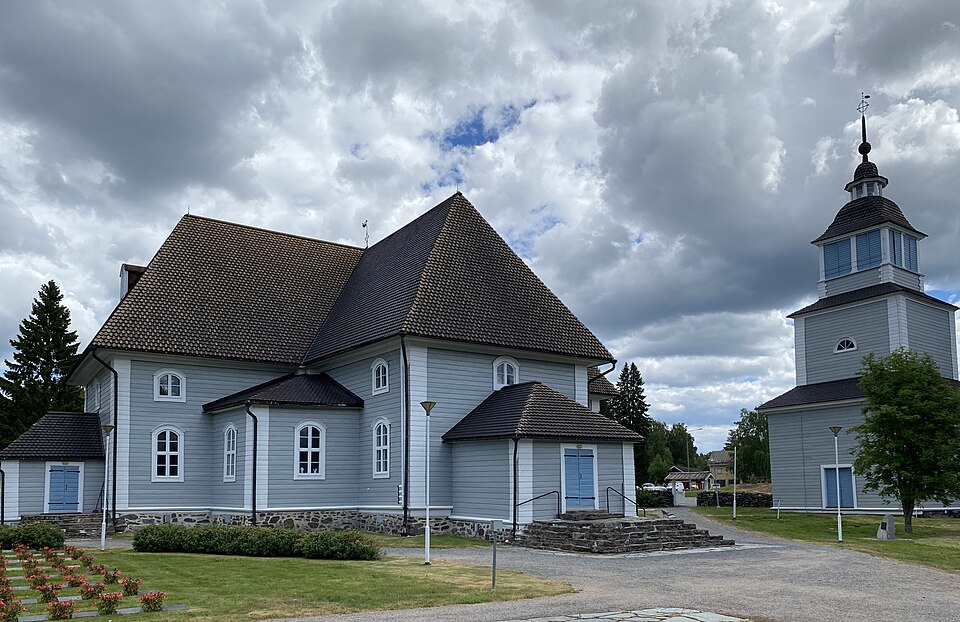 Protected building
Ristiinan kirkko
Mikkeli
Read moreNationally significant
Anttolan kirkonmäki
Mikkeli
Read more