Why visit
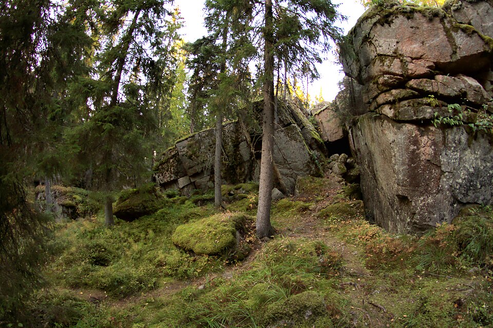
On Roninmäki south of Jyväskylä centre, in wooded surroundings, a large earthfast boulder carries a survey point of the Struve Geodetic Arc dating from 1834. Of the nearest survey points, Laajavuori lies five kilometres away.
Look for: The stone holds a bolt, a cross and the year 1861, possibly from the Russian surveys. Thirty centimetres away on the same stone is the mark of the topographic office, and there are backup marks nearby.
About this site
Jyväskylän keskustan eteläpuolisella Roninmäellä isossa maanmyötäisessä maakivessä on Struven ketjun maanmittauspiste vuodelta 1834. Kivessä on pultti, risti ja vuosiluku 1861 (venäläisten mittaukset?), samassa kivessä 30 cm:n päässä on myös topografisen toimiston merkki. Ympäristössä on varamerkkejä. Lähimmät mittauspisteet ovat Laajavuori 5 km, Ruuhimäki 25 km, Puolakka 33 km ja Vaaterinvuori 20,5 km. Kohteen ympäristö on metsäinen.
Official description (in Finnish)
- Type
- ancient monument
- Subtype
- land survey points
- Dating
- historical period
- Municipality
- Jyväskylä
More to see in Jyväskylä
 Protected building
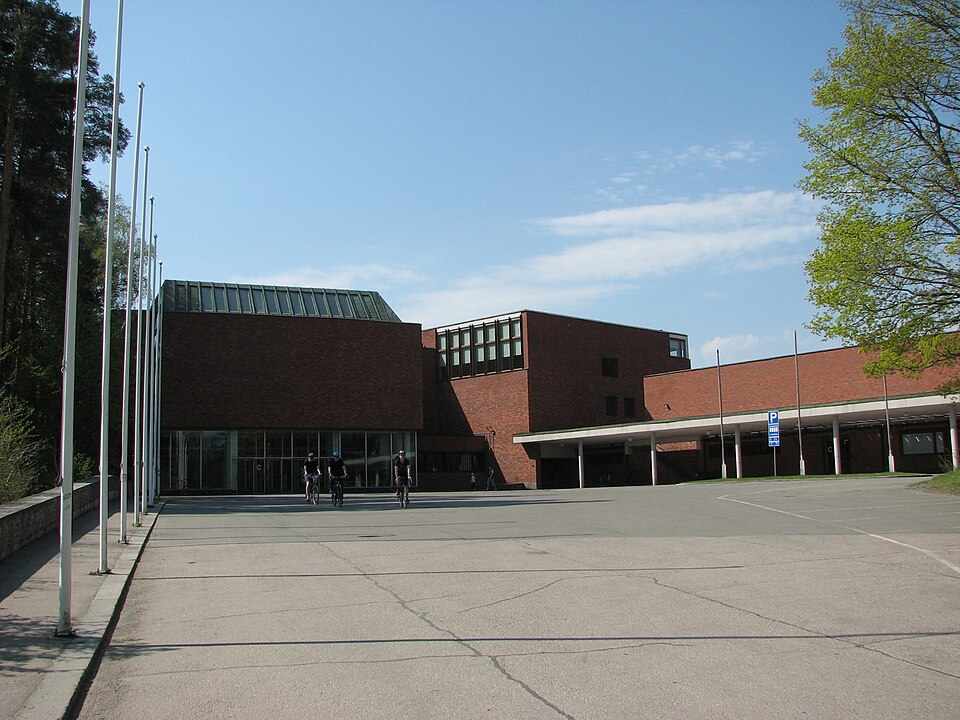
University of Jyväskylä
Jyväskylä
Read more Protected building
Taulumäki Church
Jyväskylä
Read more Protected building
Jyväskylän kaupunginkirkko
Jyväskylä
Read more Protected building
Korpilahti Church
Jyväskylä
Read more Protected building
Säynätsalon kirkko
Jyväskylä
Read moreJyväskylän rautatieasema-alue
Jyväskylä
Read moreWorth a stop nearby
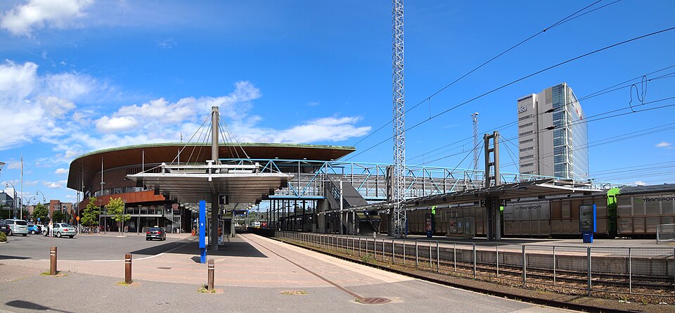 Nationally significant
Jyväskylä Central Station
Read more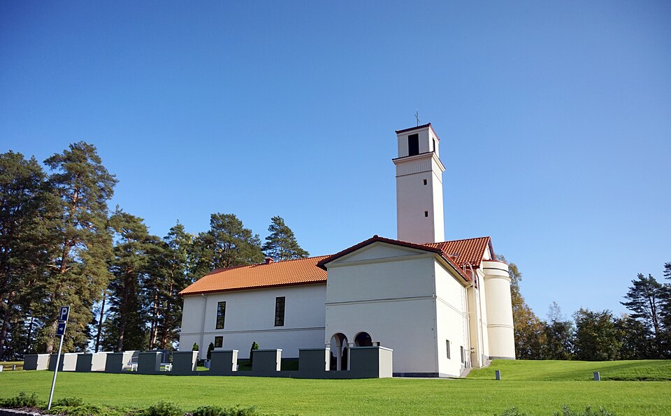 Protected building
Muurame church
Muurame
Read more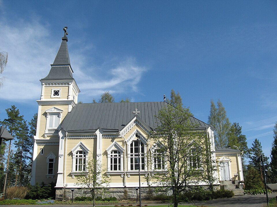 Protected building
Toivakan kirkko
Toivakka
Read more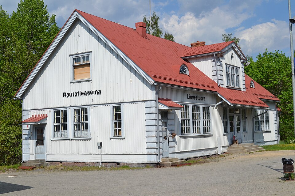 Nationally significant
Lievestuoreen rautatieasema
Read more Protected building
Laukaan kirkko
Laukaa
Read more