Why visit
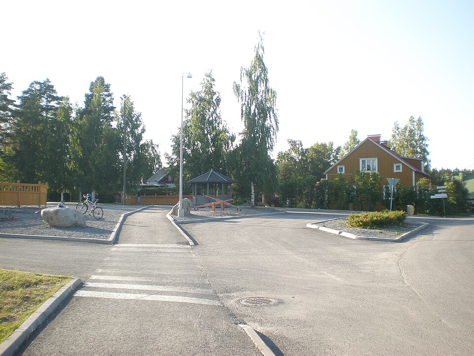
The road line running from Linna manor towards Keimola is already drawn on maps from the late 1700s. The old road is still in use, though much reworked, and to the west it merges into a younger field road, Forsbackantie.
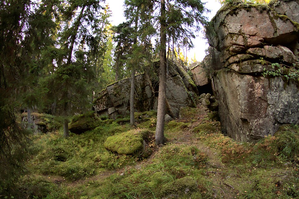
Look for: Through the forest the road is a bank 8–10 metres wide, reinforced with both gravel and stone. A ditch runs along either side.
About this site
Tielinja on merkitty 1700-luvun lopun kartoille. Vanha tie on pysynyt käytössä, tosin voimakkaasti muokattuna. Tie kulkee Linnan kartanolta Keimolaan päin lähtiessään metsässä, mutta yhtyy lopulta lännessä nuorempaan peltotiehen (Forsbackantie). Tie on metsäosuudellaan 8-10 metriä leveä penkka, jota on vahvistettu sekä soralla että kivillä. Tien molemmilla puolilla on oja.
Official description (in Finnish)
- Type
- ancient monument
- Subtype
- road beds
- Dating
- historical period
- Municipality
- Vantaa
More to see in Vantaa
 Protected building
Königstedt Manor
Vantaa
Read more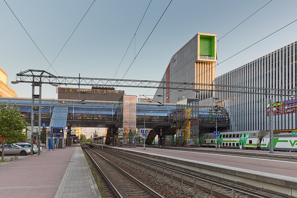 Protected building
Tikkurila railway station
Vantaa
Read moreBorgby (Keimola) Linna
Vantaa
Read moreHelsingin Pitäjän kirkko
Vantaa
Read moreKorson rautatieasema-alue
Vantaa
Read moreSjöskog (Seutula), Seutula-Linna
Vantaa
Read moreWorth a stop nearby
 Nationally significant
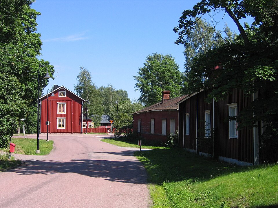
Helsingin pitäjän kirkonkylä
Read more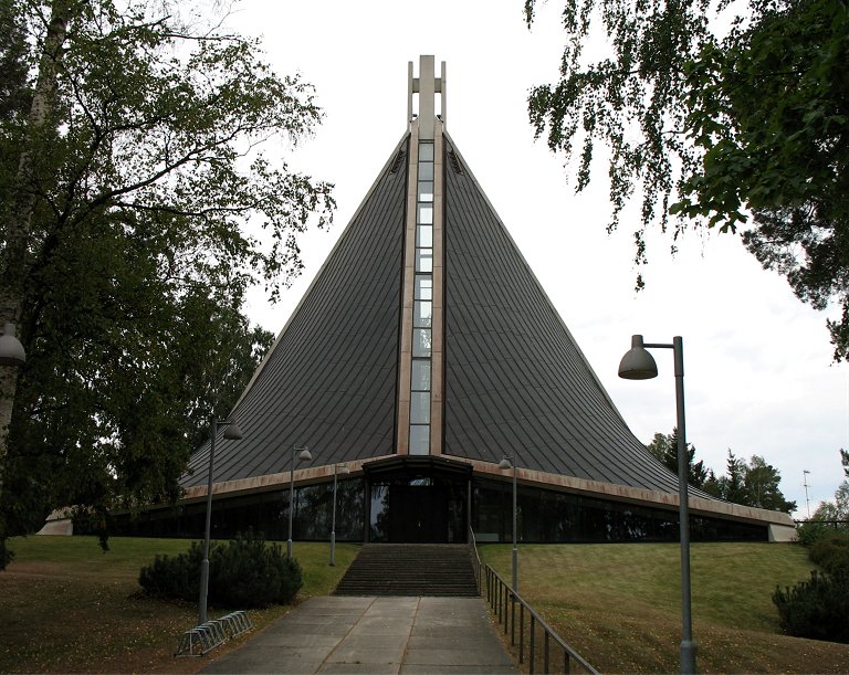 Protected building
Kannelmäen kirkko
Helsinki
Read more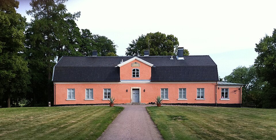 Nationally significant
Tuomarinkylän kartano
Read moreNationally significantTikkurila railway station
Read more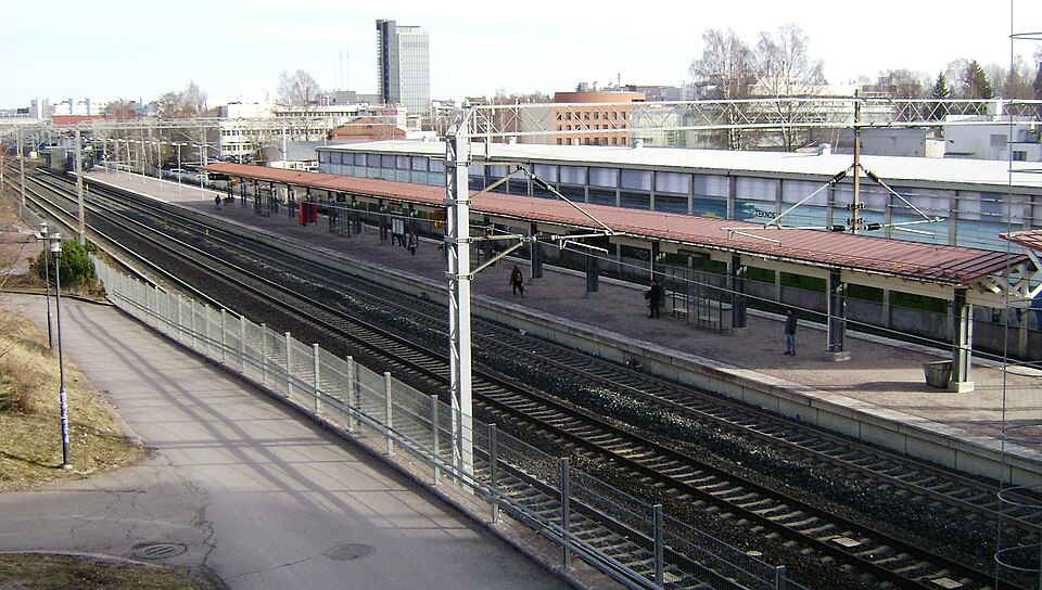 Protected building
Pitäjänmäki railway station
Helsinki
Read more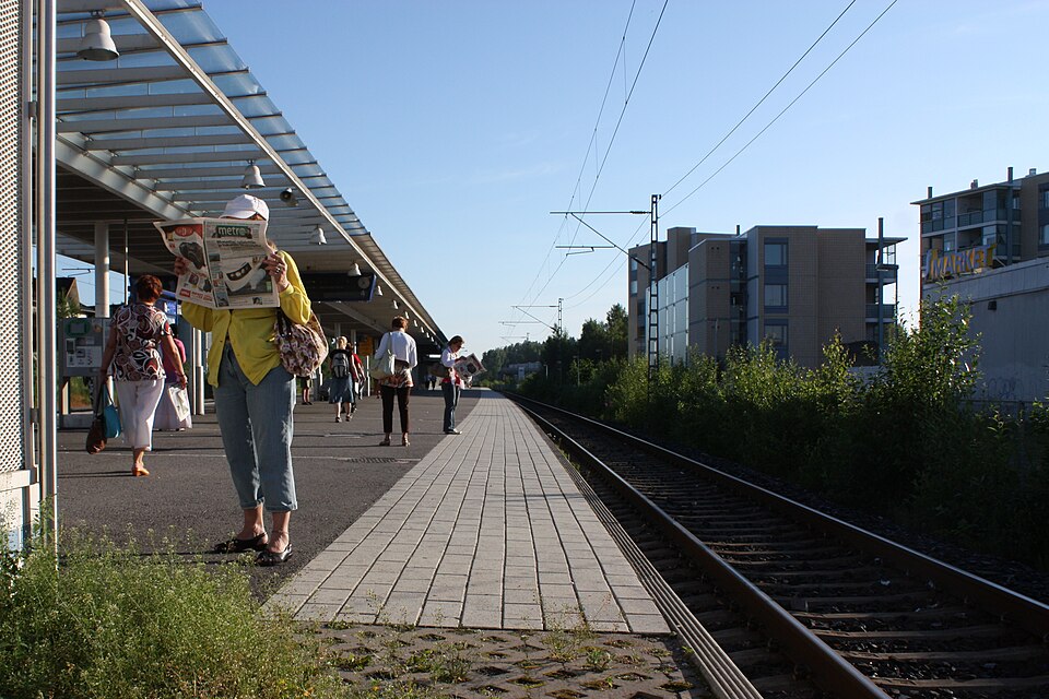 Nationally significant