Why visit
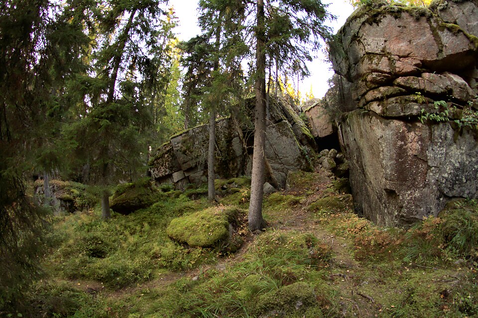
Two building foundations here belong to an eighteenth-century soldier's croft. Both were built with earth banking around the walls, and a burnt layer has been found in each.
Look for: The smaller house, 4.7 by 4.5 m, has wall lines showing above ground and an oven in its west corner with a strong burnt layer. The other foundation has no hearth.
About this site
Kohde käsittää kaksi rakennusta, jotka kuuluvat 1700-luvun sotilastorppaan (mm. Vanhan Jyväskylän karttakirja 1990). Talon (1) koordinaatit ovat 6903103/3437828. Kyseessä on 4,7 x 4,5 m kokoinen multapenkkitalo, jonka länsikulmassa on uuni/kiuas. Seinälinjat erottuvat maan päälle. Kiukaassa on voimakas palokerros.
Talon (2) koordinaatit ovat 6903083/3437846. Kyseessä on 5 x 6,5 m kokoinen tulisijaton rakennuksen pohja, jonka sisällä n. 10 - 20 cm syvyydellä on seinälinjojen kohdalla palokerros. Talo 2 on myös multapenkkirakenteinen. Multapenkkien läpimitat ovat 1- 1,5 m.
Official description (in Finnish)
- Type
- ancient monument
- Subtype
- crofts
- Dating
- historical period
- Municipality
- Jyväskylä
More to see in Jyväskylä
 Protected building
University of Jyväskylä
Jyväskylä
Read more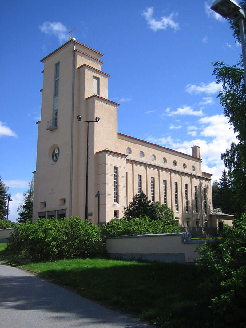 Protected building
Taulumäki Church
Jyväskylä
Read more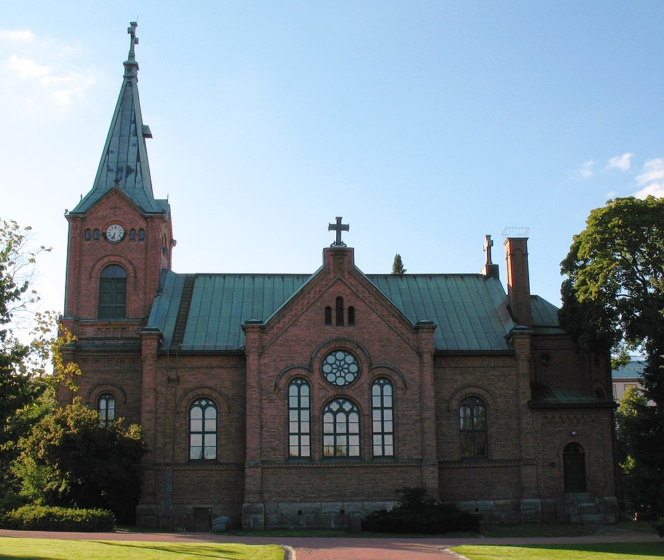 Protected building
Jyväskylän kaupunginkirkko
Jyväskylä
Read more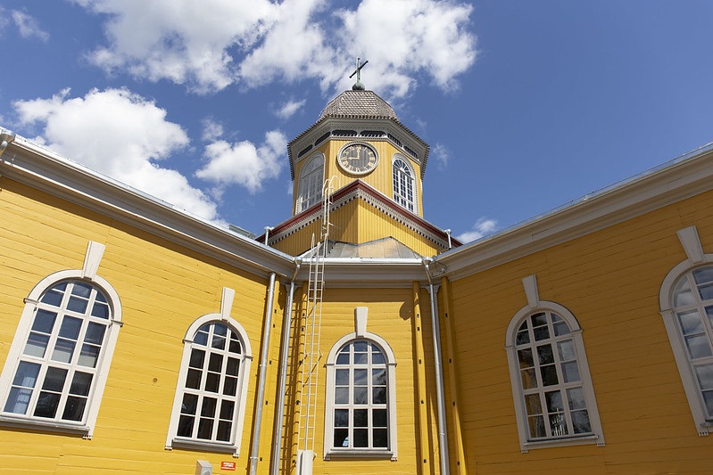 Protected building
Korpilahti Church
Jyväskylä
Read more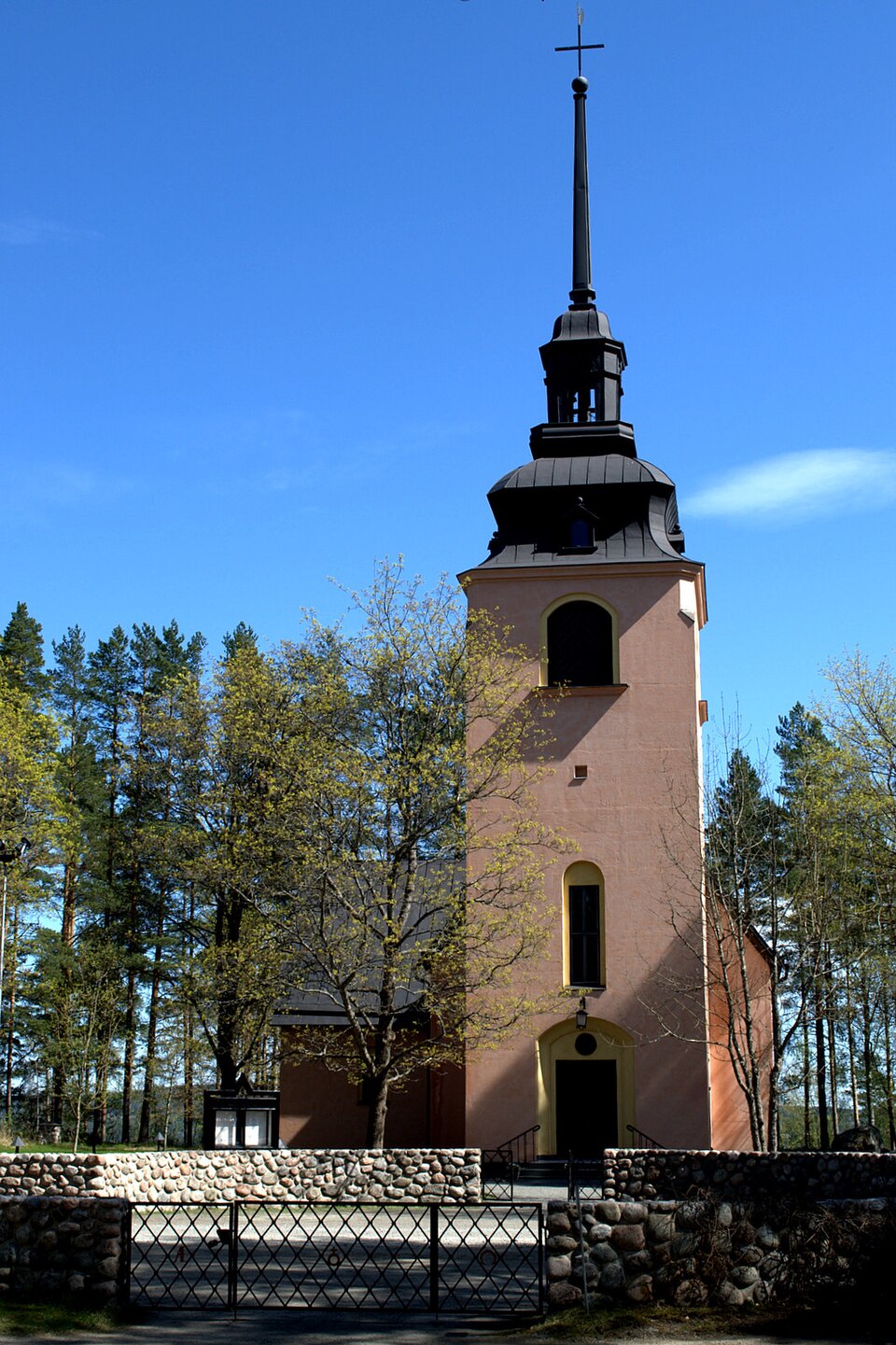 Protected building
Säynätsalon kirkko
Jyväskylä
Read moreJyväskylän rautatieasema-alue
Jyväskylä
Read moreWorth a stop nearby
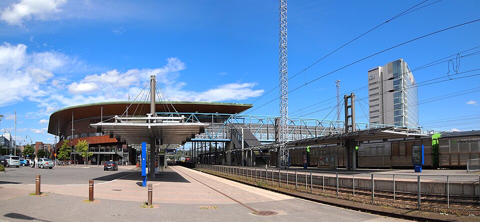 Nationally significant
Jyväskylä Central Station
Read more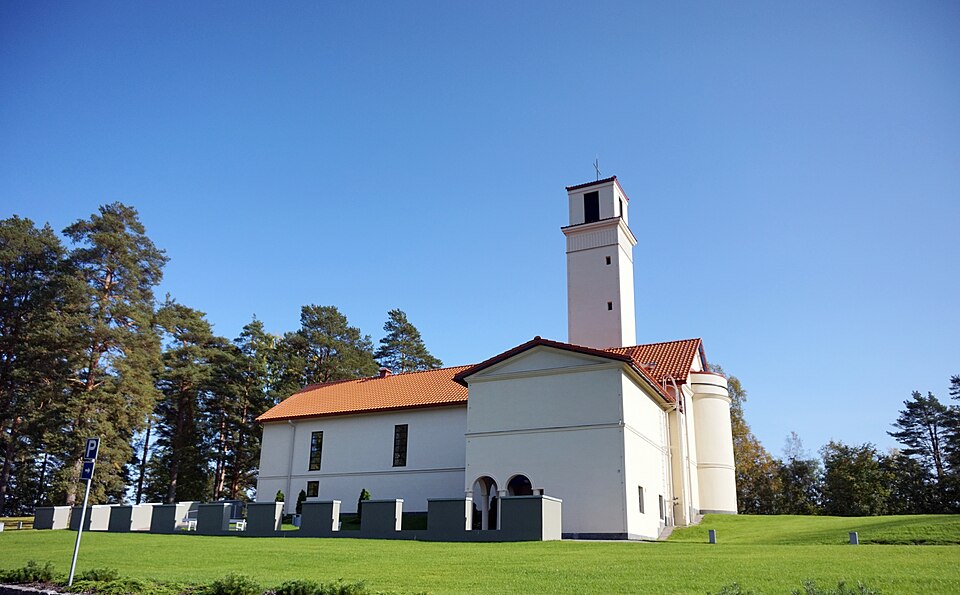 Protected building
Muurame church
Muurame
Read more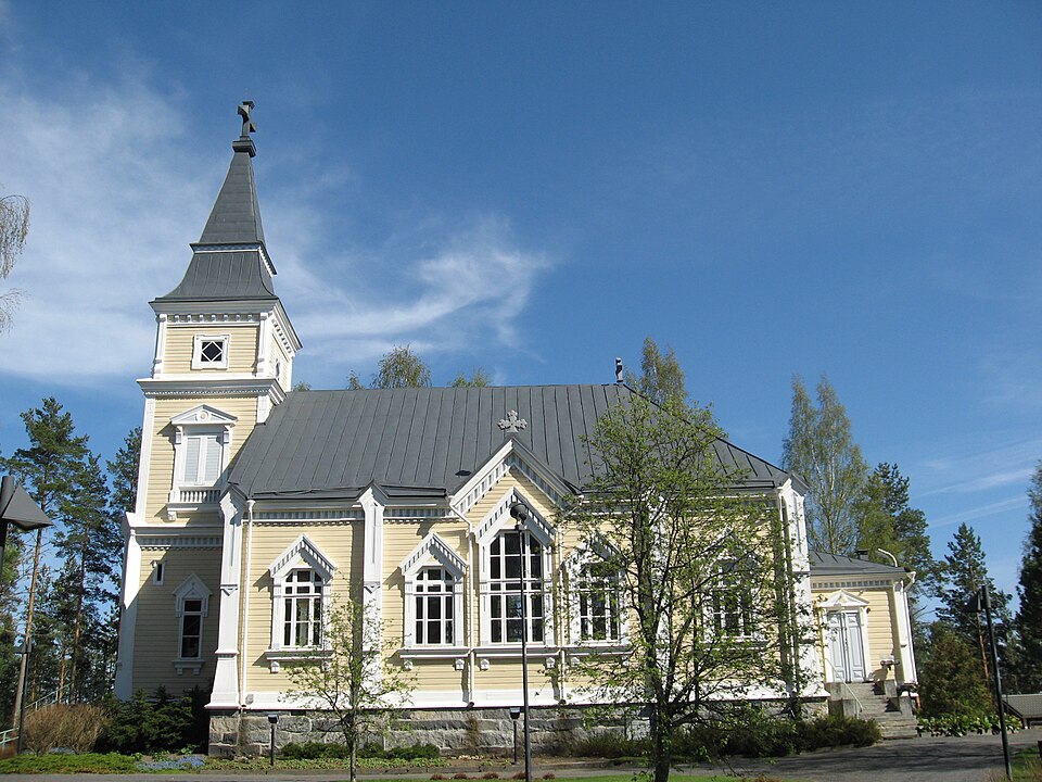 Protected building
Toivakan kirkko
Toivakka
Read more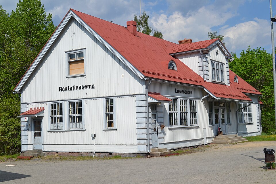 Nationally significant
Lievestuoreen rautatieasema
Read more Protected building
Laukaan kirkko
Laukaa
Read more