Why visit
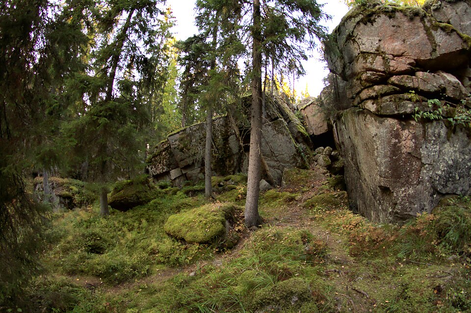
At the eastern edge of the Skaftkärr fields, on the rim of a rocky slope falling to the southwest, traces of stone quarrying were found. The quarrying is roughly placed between the late 1700s and the 1900s.
Look for: Look for the quarrying marks along the rock edge. The 1833 map shows two barns nearby, but the quarry itself is not marked on it.
About this site
Skaftkärrin peltoalueen itäreunalta, lounaaseen laskevan kallioisen rinteen reunalta löytyi jälkiä kivenlouhinnasta. Vuoden 1833 kartassa paikan lähellä sijaitsee kaksi latoa; kivilouhoksesta ei ole merkintöjä. Kohde liittyy todennäköisesti samankaltaiseen toimintaan, kuin muut Skaftkärrin kaavarunkoalueen louhokset, Veckjärvi kivilouhos ja Omenatarha 2. Kivenlouhinnan ajankohtaa voidaan karkeasti arvioida 1700-luvun lopulta 1900-luvulle.
Official description (in Finnish)
- Type
- ancient monument
- Subtype
- quarries
- Dating
- historical period
- Municipality
- Porvoo
.tif)