Why visit
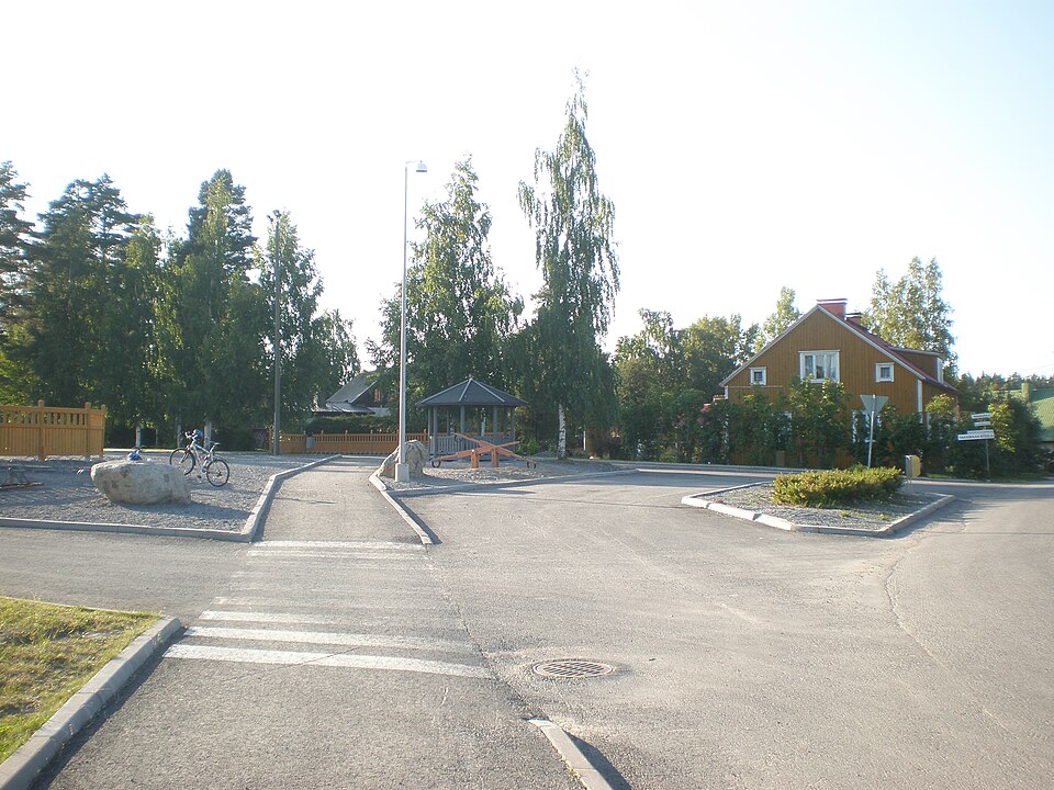
The road line is marked on maps from the late 1700s, and the old road is still largely in use. In many places, though, the line has been straightened, and the road cleared into field.
Look for: On the south bank of the Vantaanjoki, west of the Knuutila and Philpula plots, the old road survives as a grassed-over bank between two fields, some 3–4 metres wide and half a metre high.
About this site
Tielinja on merkitty 1700-luvun lopun kartoille. Vanha tie on pääosin edelleen käytössä. Tielinjaa on kuitenkin monin paikoin oikaistu. Samalla tietä on raivattu pelloksi. Vantaanjoen etelärannalla olevasta Knuutilan (Yvjas) ja Philpulan (Ylösjoki) tonttimaista länteen päin tielinja on säilynyt kahden pellon väliin jäävänä nurmikoituneena penkkana, jonka leveys on noin 3-4 metriä ja korkeus noin 0,5 metriä.
Official description (in Finnish)
- Type
- ancient monument
- Subtype
- road beds
- Dating
- historical period
- Municipality
- Vantaa
More to see in Vantaa
 Protected building
Königstedt Manor
Vantaa
Read more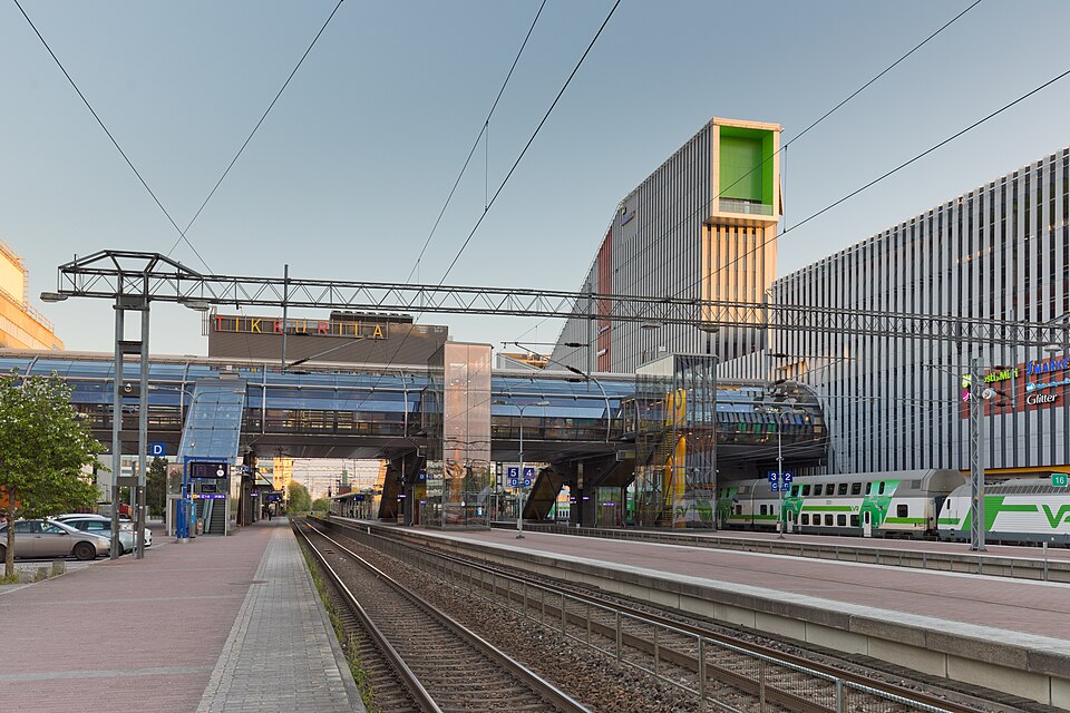 Protected building
Tikkurila railway station
Vantaa
Read moreBorgby (Keimola) Linna
Vantaa
Read moreHelsingin Pitäjän kirkko
Vantaa
Read moreKorson rautatieasema-alue
Vantaa
Read moreLinna, Linna-Keimby (Keimola)
Vantaa
Read moreWorth a stop nearby
 Nationally significant
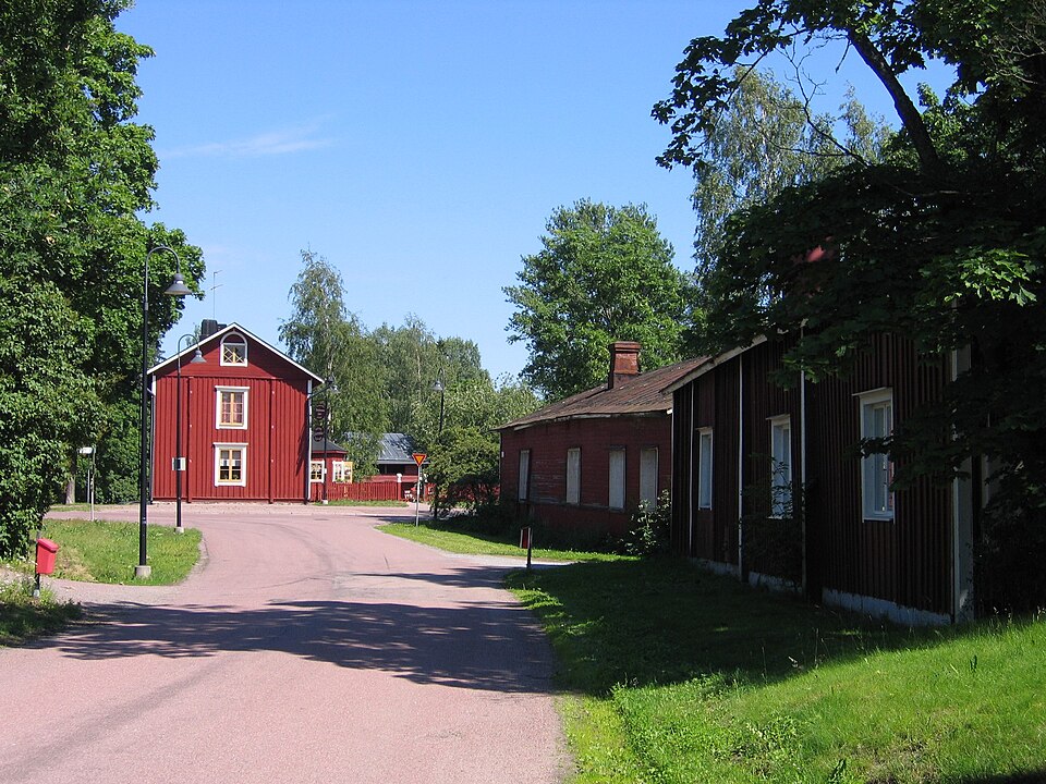
Helsingin pitäjän kirkonkylä
Read more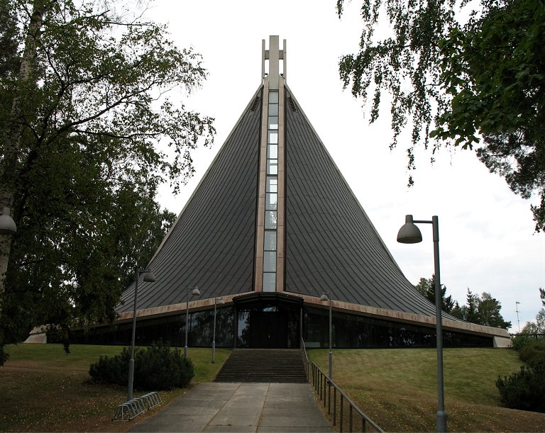 Protected building
Kannelmäen kirkko
Helsinki
Read more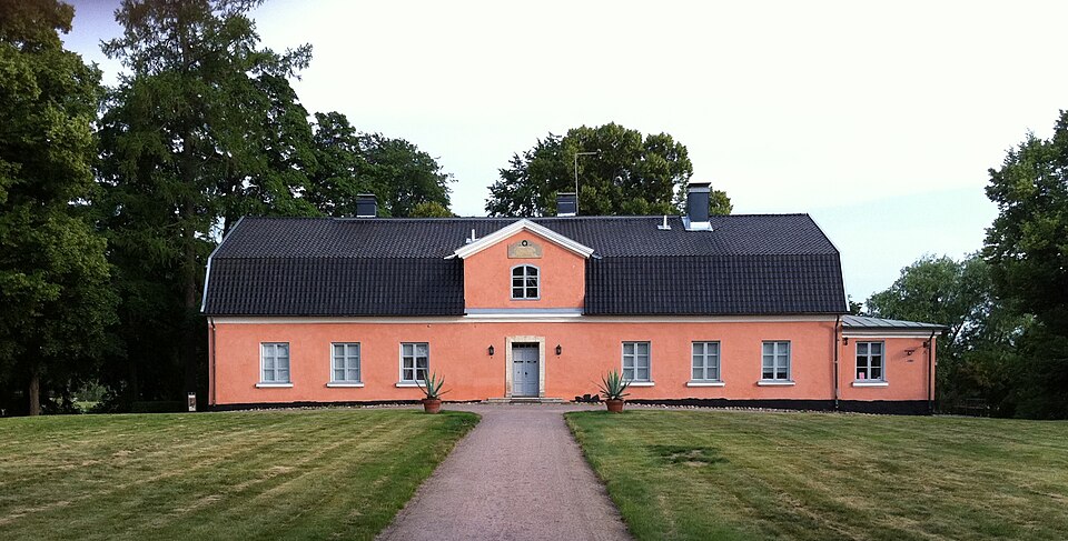 Nationally significant
Tuomarinkylän kartano
Read moreNationally significantTikkurila railway station
Read more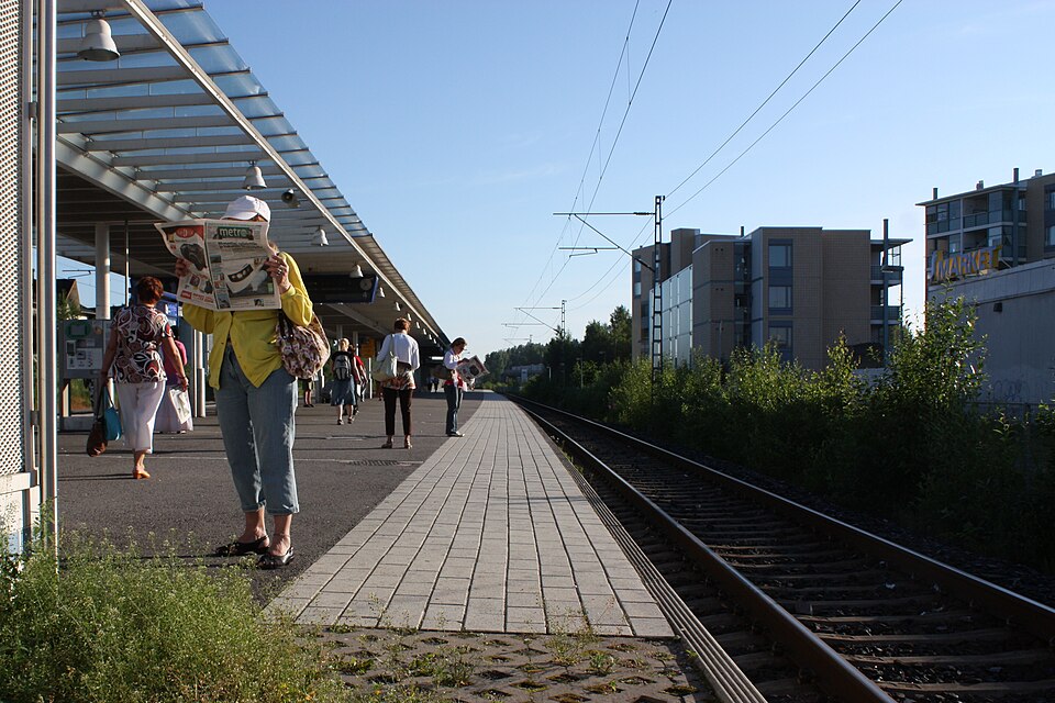 Nationally significant
Korso railway station
Read more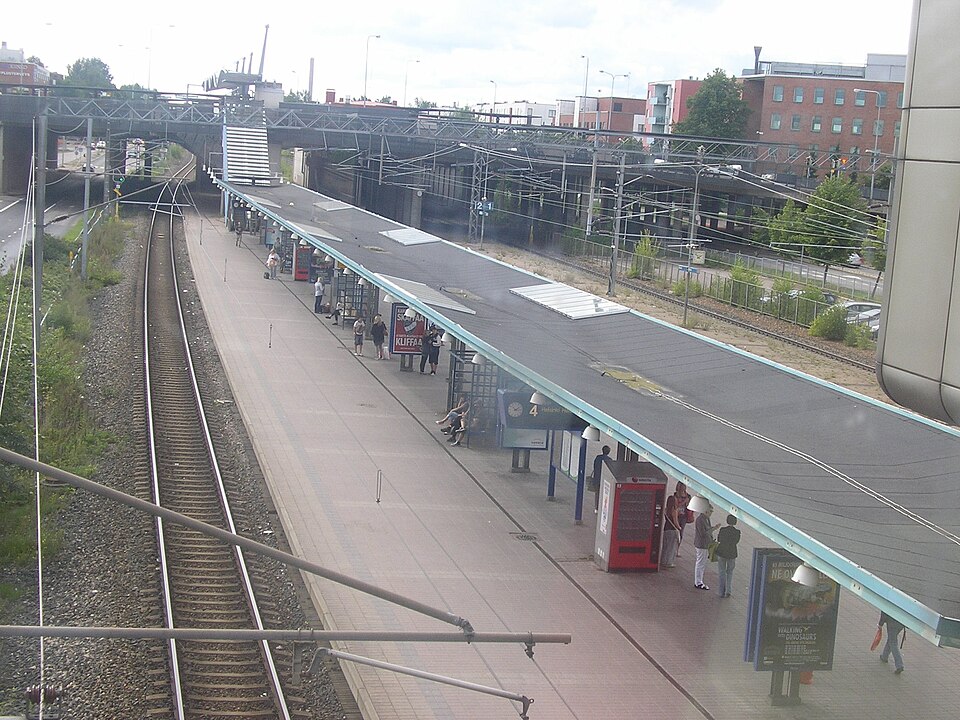 Nationally significant