Why visit
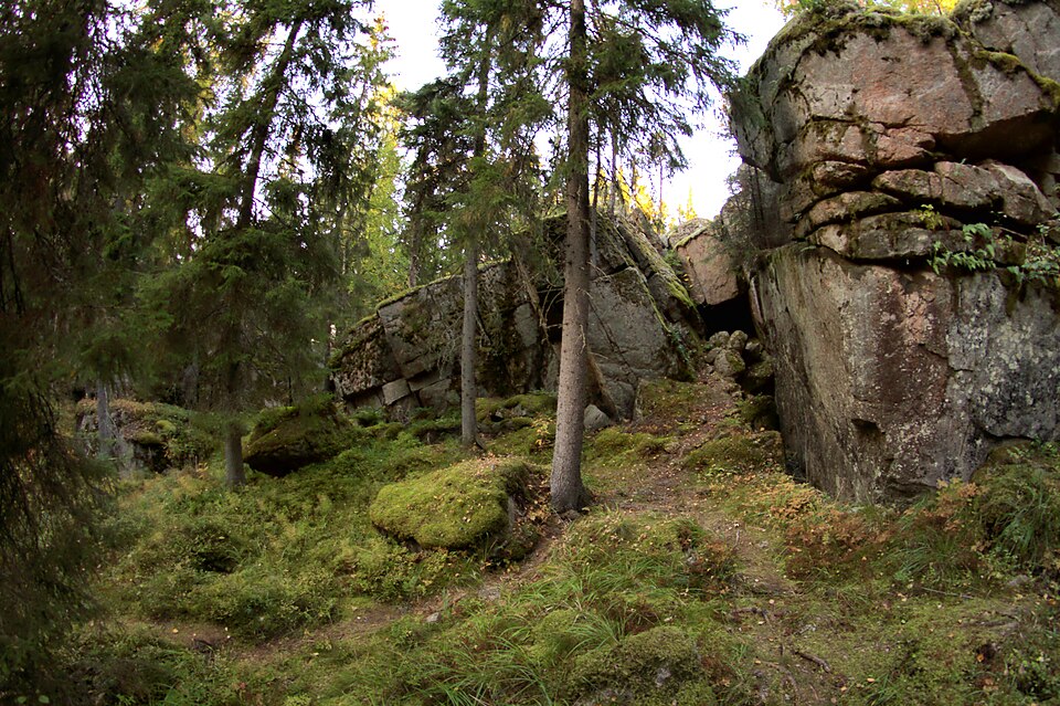
About two kilometres north of Kajaani castle, in the forest between the Komiaho district and the Seppälä college, lies a tar-burning pit. Measured from the outer edge of its bank it is around 14 metres across and roughly a metre deep.
Look for: The pit sits in a felled area under dense scrub and undergrowth; its outlet channel, where the tar ran out, faces southeast.
About this site
Kohde sijaitsee noin kaksi kilometriä Kajaanin linnasta pohjoiseen Komiahon taajaman ja Seppälän Maatalous- ja Puutarhaoppilaitoksen välisellä metsäalueella. Seppälän eteläpuolella olevan peltoalueen reunaan on matkaa noin 100 metriä. Tervahauta on hakkuualueella ja se on tiheän vesakon ja aluskasvillisuuden peitossa. Haudan leveys vallin ulkoreunasta mitattuna on noin 14 metriä, haudan syvyys on noin metri ja halssi on kaakkoon.
Official description (in Finnish)
- Type
- ancient monument
- Subtype
- tar pits
- Dating
- historical period
- Municipality
- Kajaani
More to see in Kajaani
Worth a stop nearby
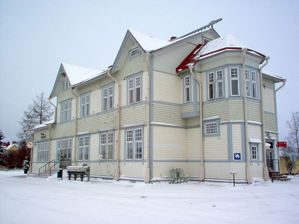 Nationally significant
Kajaani railway station
Read more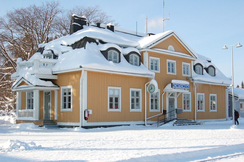 Nationally significant
Kontiomäki railway station
Read more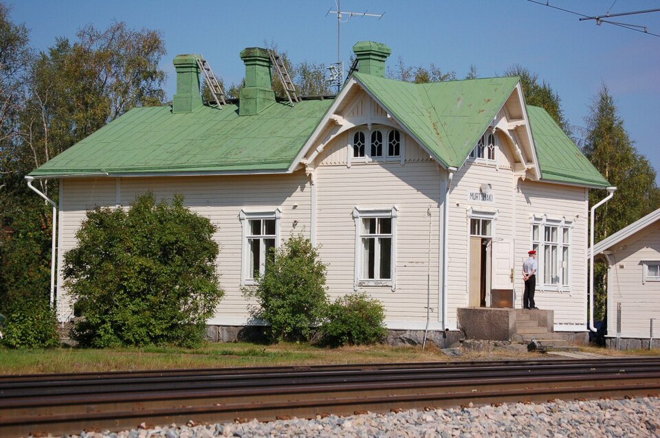 Nationally significant
Murtomäen rautatieasema
Read more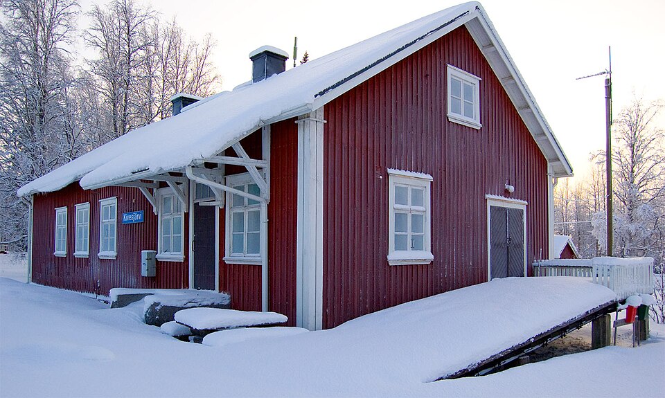 Nationally significant