Notableundated

Järvelä

Nurmijärvi

Why visit

On the drained Nurmijärvi's southern shore, four moss-covered stone cairns lie on a hillside at the edge of a field. A quiet place for those who pause over the landscape's old traces.

Look for: Look for the four elongated cairns on the slope; the largest rises over a metre, and earth has at some point been heaped onto one of them.

About this site

Kiviröykkiöt sijaitsevat kuivatun Nurmijärven etelärannalla Simonsbergin tilasta 500 metriä länsikoilliseen. Maasto on pohjoiseen viettävä mäenrinne, metsää pellon laidalla. Röykkiöt ovat noin 30 m päässä etelä-pohjoissuuntaisesti kulkevasta pellon reunasta Nurmijärven ”pohjalle” johtavan peltotien itäpuolella.

Paikalla on neljä selkeää sammalpeitteistä pitkulaista röykkiötä. Maaperä on kivinen ja pellon laidassa on selvästi pellosta nosteltuja kiviä. Röykkiöt ovat maapohjalla. Röykkiö A: lähimpänä pellon reunaa, koko 1,50x1,0x0,6 m. Päällimmäisiä kiviä on liikuteltu. Röykkiö B: edellisestä 8 m kaakkoon, koko 3,0x1,1x0,40 m. GPS-mittaus 6705922/3379217.

Röykkiö C: edellisestä 10 m pohjoiseen, koko 2,5x1,0x1,40. Röykkiön päälle on kasattu maata. Röykkiö D: edellisestä 4 m koilliseen, koko 2,5x1,0x0,40 m.

Official description (in Finnish)

Järvelä, Kärkölä

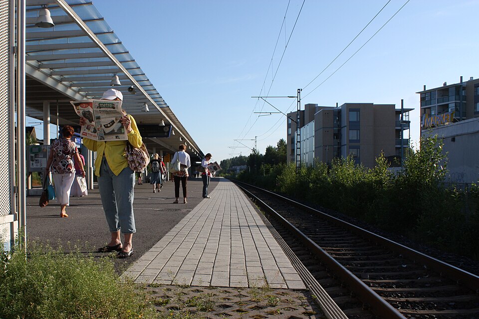
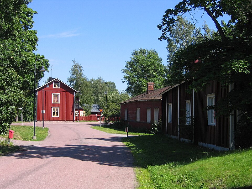
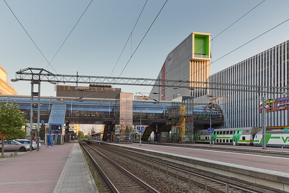
Järvelä is the largest village in the Kärkölä municipality and the municipality's administrative center in Päijät-Häme, Finland. At the end of 2014, about 2,800 inhabitants lived there. As a statistical agglomeration defined by Statistics Finland, Järvelä also covers the church village of Kärkölä. Järvelä is located along the railway between Lahti and Riihimäki and by road at the intersection of main road 54 and regional road 295. All commuter trains between Lahti and Riihimäki stop at Järvelä railway station.

Source: WikipediaRead more on Wikipedia
Type
ancient monument
Subtype
cairns
Dating
undated
Municipality
Nurmijärvi
Heritage Agency record
Järvelä, Nurmijärvi | Aikapolku