Why visit
Northwest of the castle ruins, on the north bank of the Kajaaninjoki, lie what are apparently the remains of a Russian gun battery from the Greater Wrath. It is marked on castle commandant Didrik Trolin's 1739 defence plan.
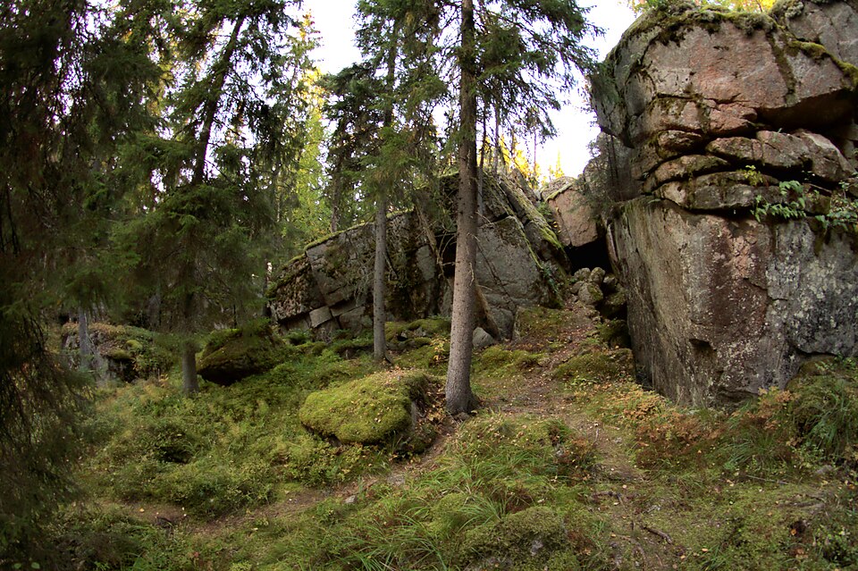
Look for: A rectangular pit shows in the ground, roughly 2 by 1 metres and about half a metre deep. A little further down the slope a semicircular earth rampart is visible.
About this site
Kajaaninjoen pohjoisrannalla, linnanraunioiden luoteispuolella sijaitsee suorakaiteen muotoinen kuoppa. Kuopan koko on noin 2 x 1 metriä. Sen syvyys on noin 0,5 metriä. Hieman alempana rinteessä näkyy puolikaaren muotoista maavallia. Ilmeisesti kyseessä on venäläisen isonvihan aikaisen tykkipatterin jäännös. Se on merkitty linnankomendantti Didrik Trolinin tekemään Kajaanin kaupungin puolustussuunnitelmaan vuodelta 1739.
Official description (in Finnish)
- Type
- ancient monument
- Subtype
- gun emplacements
- Dating
- historical period
- Municipality
- Kajaani
More to see in Kajaani
Worth a stop nearby
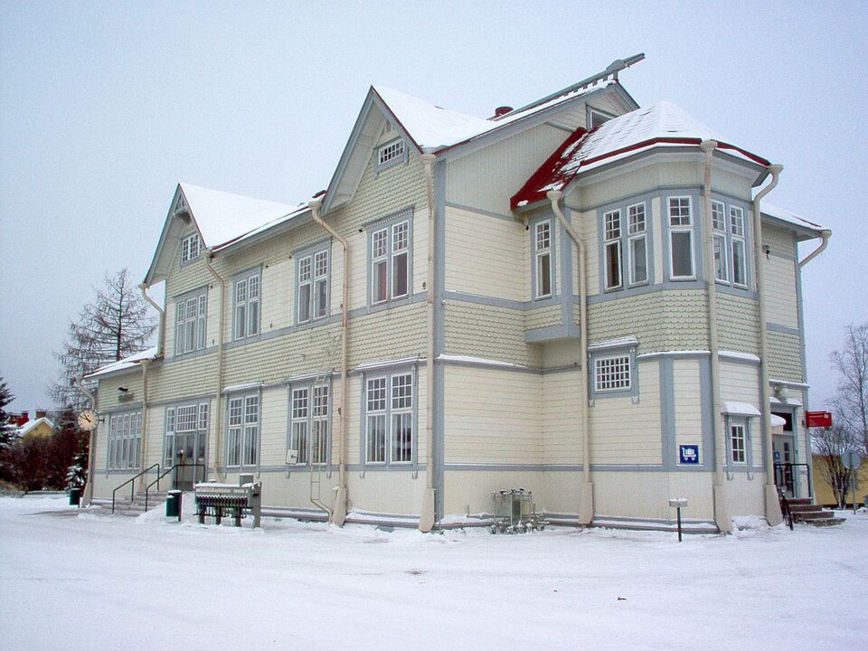 Nationally significant
Kajaani railway station
Read more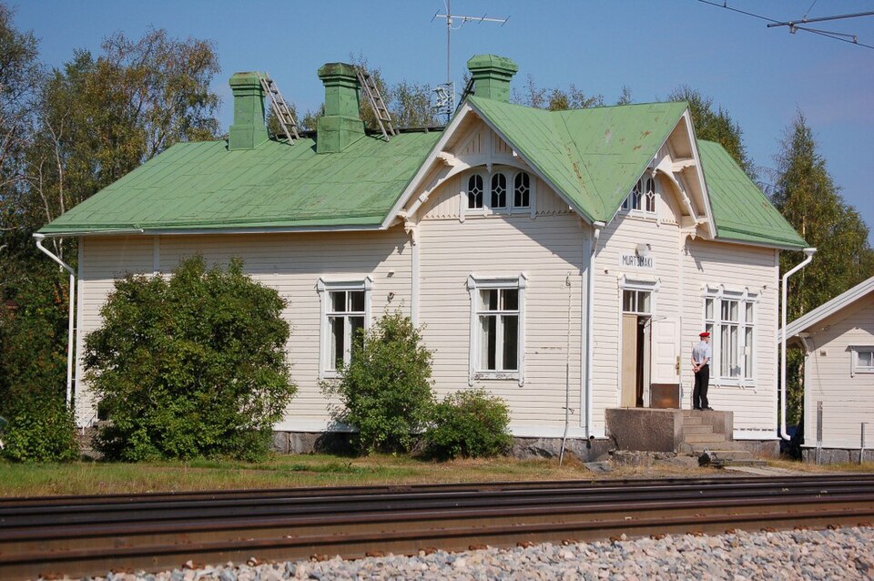 Nationally significant
Murtomäen rautatieasema
Read more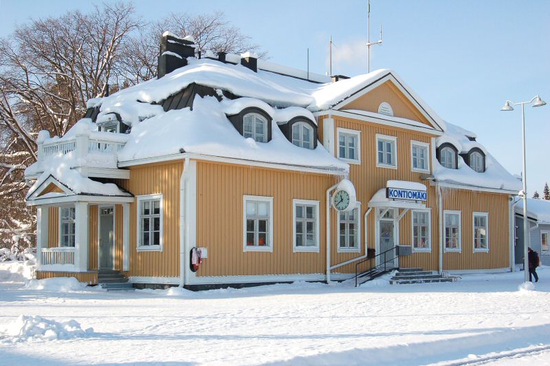 Nationally significant
Kontiomäki railway station
Read more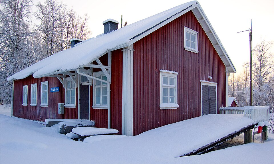 Nationally significant